
Mapping informal waterfront settlements at risk of demolition
Mapping informal waterfront communities in the Niger Delta facing the threat of demolition.
When the 2022 floods cut road access across Bayelsa and emergency services could not reach many communities, we built and published a reporting system that put displaced people's camps, needs and status on the map.
In 2022, floods cut off road access across much of Bayelsa State, and emergency services could not reach many of the affected communities. On our own initiative, we built a reporting system on ArcGIS Collector and published it so reports could come in from the ground.
Each report placed a camp for internally displaced people (IDPs) on the map, together with what the people there needed and the camp's current status. The result was a shared, up-to-date picture of where people were sheltering and what they lacked: their way of saying "we are here".
Mapping informal waterfront communities in the Niger Delta facing the threat of demolition.
 Social impact
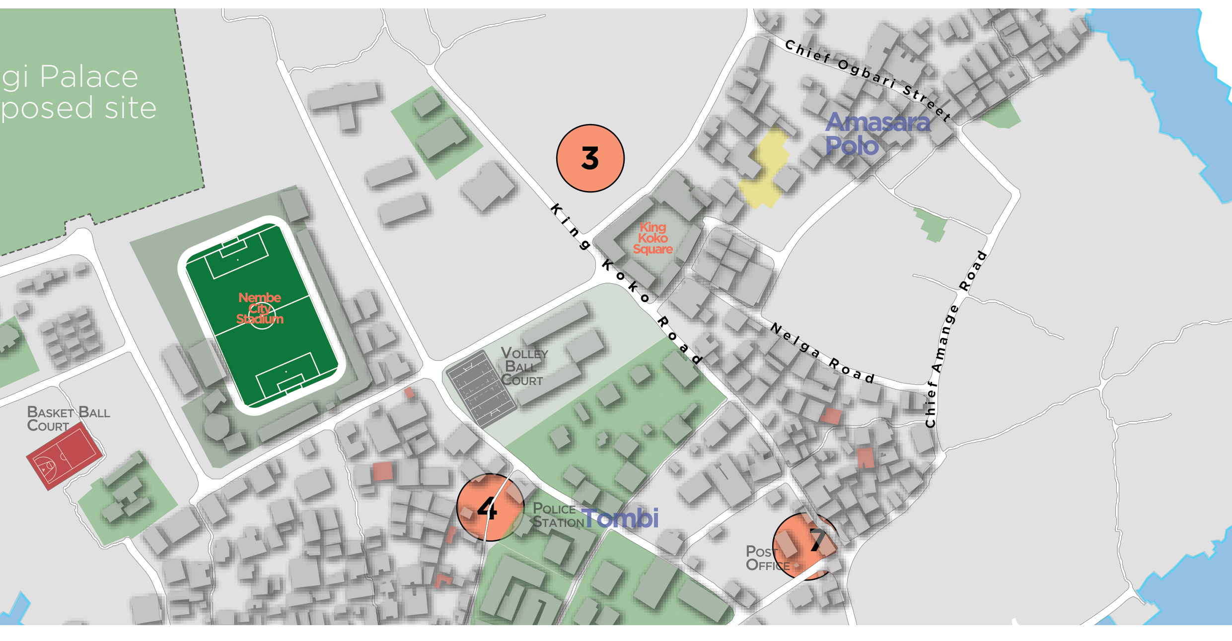
Pro-bono community mapping of landmarks, public facilities and points of interest on Nembe Island.
Geospatial support to environmental impact management following the KS Endeavor incident at Koloama.