Open data

Maps and geodata to download and share

Maps and datasets from our projects, free to reuse under the licence shown with each one. Please credit Vertical Aspects when you use them.

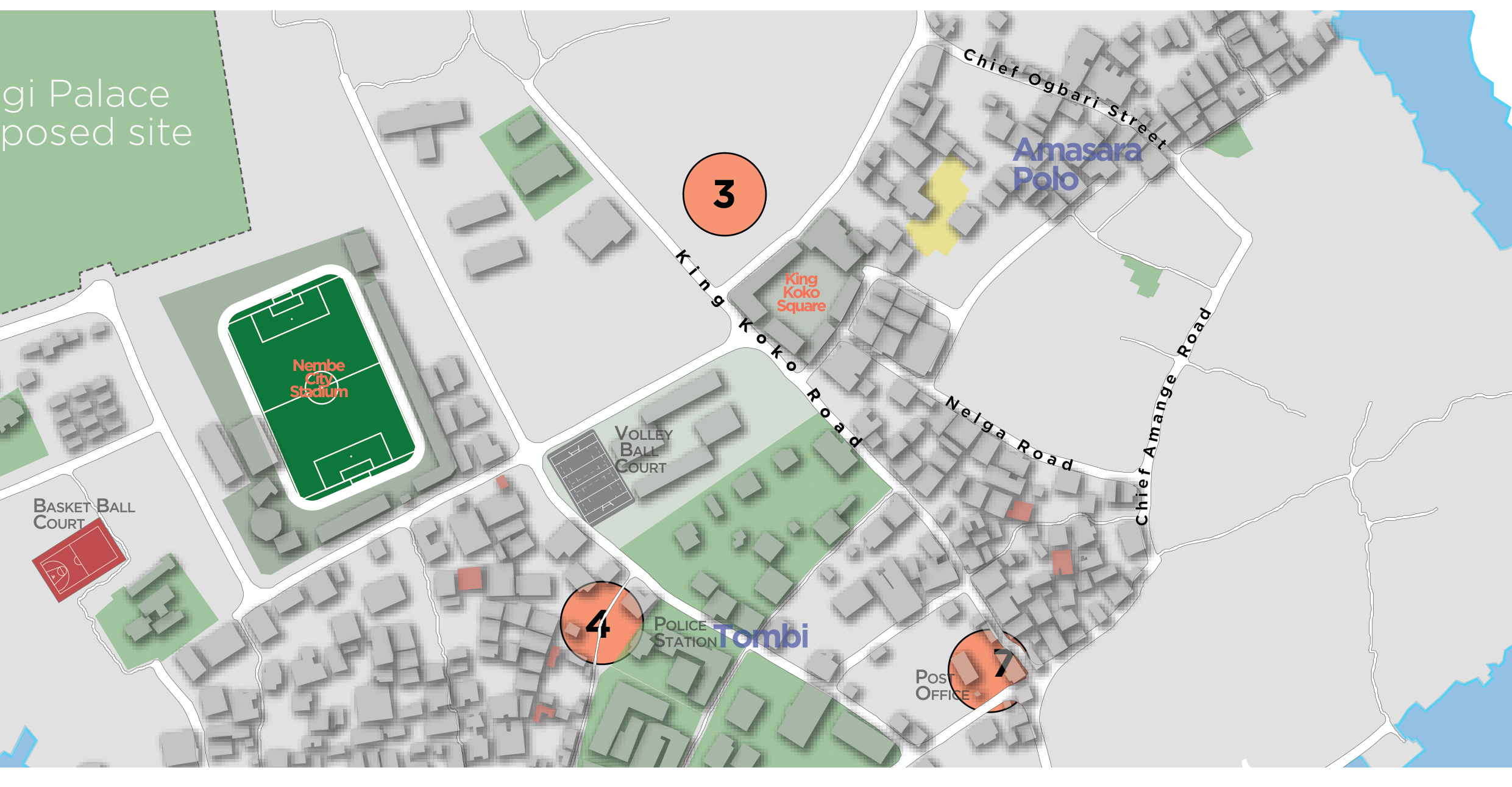
Nembe Island points of interest

Landmarks, public facilities and points of interest on Nembe Island, mapped pro bono with Onyoma Research.

Map excerpt available now. Vector data (GeoJSON / shapefile) to follow.
Cite this dataset

Vertical Aspects (2026). Nembe Island points of interest. Licensed CC BY 4.0. https://vertical-aspects.com/data/#nembe-points-of-interest

Need data we haven't published?

Some project data stays private to protect communities and clients. Tell us what you need and how you'll use it, and we'll share what we can.

Request data